Study Uses Gulf Science Data to Analyze Water Chemistry near Deepwater Horizon
– JULY 12, 2016
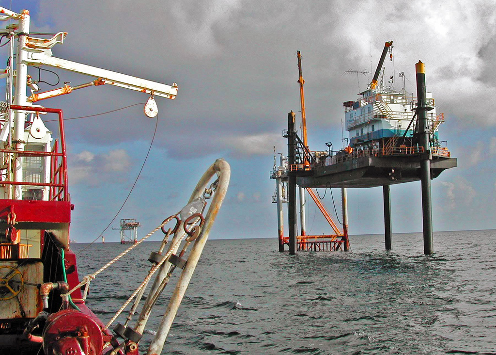 (Click to enlarge) While there are many oil rigs in the Gulf of Mexico, this study’s research indicates that most rigs operate without incidence. (Photo by Steve DiMarco) |
Texas A&M University scientists analyzed data made publically-available by BP for 20,000+ water samples collected from 13,000 stations during and after the 2010 spill. They found that oil occurrence was patchy with only about 20% of the samples having hydrocarbon levels above pre-spill background conditions.
The highest hydrocarbon concentrations were within 25 kilometers of the wellhead, at or near the surface, or in dispersant-treated areas. The percentage of samples above background concentrations decreased rapidly after the well was capped. The team published their findings in the Marine Pollution Bulletin: Spatial and temporal distribution of water column total polycyclic aromatic hydrocarbons (PAH) and total petroleum hydrocarbons (TPH) from the Deepwater Horizon (Macondo) incident.
Multiple response agencies, trustees, and BP collected samples during the response and recovery efforts that reached from a few meters to over 800 kilometers in all directions from the wellhead. These data were joined together as a dataset on the Gulf Science Data site. The team used RStudio, a free open-source programming language for statistical computing, to compare TPH and PAH levels throughout the dataset. Wade explained more about the samples they analyzed, “Sampling was not random but was concentrated in areas where oil was expected, especially layers ~900 – 12,000 meters below the surface and southwest of the spill and at the leaking riser stream and in or near surface slicks.”
The Gulf Science Data site represents the work of scientists and responders from government agencies, universities, and BP. Collections started in April 2010, became public in November 2013, and were updated in May 2014. The authors said that the Gulf Science Data are a valuable resource documenting the spatial and temporal range and distribution of hydrocarbon concentration during and after a major oil spill event. The availability of the Gulf Science Data is notable, as this has not been the case for many previous spills. Lead author Terry Wade remarked, “It is extremely important that the NRDA (Natural Resource Damage Assessment) and BP data sets have been released to scientists and the public.”
The study’s authors are Terry L. Wade, José L. Sericano, Stephen T. Sweet, Anthony H. Knap, and Norman L. Guinasso, Jr.
Data for this study are publically available at www.gerg.tamu.edu/MacondoDataAnalysis.
************
This research was made possible in part by a grant from the Gulf of Mexico Research Initiative (GoMRI) to the Gulf of Mexico Spill Response Consortium (GISR).
The Gulf of Mexico Research Initiative (GoMRI) is a 10-year independent research program established to study the effect, and the potential associated impact, of hydrocarbon releases on the environment and public health, as well as to develop improved spill mitigation, oil detection, characterization and remediation technologies. An independent and academic 20-member Research Board makes the funding and research direction decisions to ensure the intellectual quality, effectiveness and academic independence of the GoMRI research. All research data, findings and publications will be made publicly available. The program was established through a $500 million financial commitment from BP. For more information, visit https://gulfresearchinitiative.org.
© Copyright 2010- 2017 Gulf of Mexico Research Initiative (GoMRI) – All Rights Reserved. Redistribution is encouraged with acknowledgement to the Gulf of Mexico Research Initiative (GoMRI). Please credit images and/or videos as done in each article. Questions? Contact web-content editor Nilde “Maggie” Dannreuther, Northern Gulf Institute, Mississippi State University (maggied@ngi.msstate.edu).


