Study Develops Algorithm to Detect Surface Oil and Estimate Thickness
– JANUARY 30, 2019
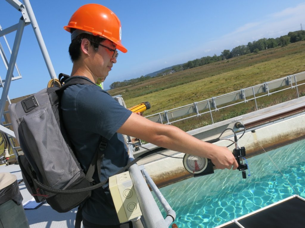 Shaojie Sun measured spectral reflectance in an oil tank experiment at the Ohmsett facility in New Jersey. Photo credit: Ohmsett facility |
Scientists analyzed spectral images of surface oil slicks and proposed a new method to determine oil distribution and thickness when high resolution imagery is not available. Their initial version of a multistep scheme provides an algorithm that classifies oil as emulsified or non-emulsified and estimates oil thickness based on known oil properties. The team also identified challenges when interpreting remote sensing images, including changing observation conditions, the optical properties of oil and water, the complexity of the in situ environment, and interpretation validation. Additional factors that complicate interpretation of oil-water spatial and spectral contrasts include oil thickness, sun glint, mixed oil thicknesses within single pixels, and insufficient spatial and spectral resolutions.
The researchers published their findings in IEEE Transactions on Geoscience and Remote Sensing: The challenges of interpreting oil-water spatial and spectral contrasts for the estimation of oil thickness: Examples from satellite and airborne measurements of the Deepwater Horizon oil spill.
Because oil has optical properties that are different from water, optical remote sensing is one of the most commonly used techniques to detect surface oil. This technology provides a rapid, general oil spill assessment and has been used during and after the Deepwater Horizon and other spills.
However, despite significant technological advancements, challenges remain for distinguishing oil slicks from lookalikes (such as bio-films and bio-slicks like Sargassum mats and algal blooms) and estimating the volume and thickness of surface oil. Although the principles of different optical properties and environmental conditions that collectively determine the oil-water spatial and spectral contrast are generally well known, in practice it has been difficult to develop inversion algorithms that infer the oil type and thickness from the oil’s reflectance spectra.
“Accurate assessment of oil spills helps mitigation during the spill and helps post-spill assessment. The severity of the Deepwater Horizon spill and the proximity of large oil quantities to coastal residents are all critical information for the public to better respond to the spill,” explained study author Chuanmin Hu. “During the oil spill, satellite remote sensing could only provide surface oil location with little information on oil quantity.”
The team compared the reflectance spectra of pure oil, emulsified oil, oil-on-water, and unoiled water from published literature to new multi-band remote sensing data from the Deepwater Horizon incident. Based on their findings, they proposed the following multistep scheme to classify emulsified and non-emulsified oil and estimate its thickness: First, use spatial contrast on each pixel to determine and delineate oil pixels; next, among the identified pixels, classify emulsified oil and non-emulsified oil using the near-infrared and shortwave infrared bands; and finally, estimate the relative oil thickness for both types using the band ratio of short-wave (where reflectance increases with increasing oil thickness) to blue wavelengths (where reflectance decreases with increasing oil thickness). The team applied this multiband approach to USGS Landsat satellite data, with good agreement found from hyperspectral airborne data extracted from AVIRIS collected on May 17, 2010.
“Although it is not straightforward, a combination of several optical channels is effective to differentiate crude oil from oil emulsions and classify their relative thickness. Because many satellite sensors are equipped with such channels, our research provides a practical approach to classify oil types and quantity from oil spills,” said Hu. “This represents one step forward for improved monitoring.”
The researchers noted that further lab-based measurements are required to fully understand oil-water spectral contrast under various emulsification conditions and water environments. They also suggest that future work develop innovative in situ techniques to measure oil thickness and that natural seeps and damaged oil platforms may serve as natural laboratories to design field measurements.
Data are publicly available through the Gulf of Mexico Research Initiative Information and Data Cooperative (GRIIDC) at doi:10.7266/n7-1nhg-ez10.
The study’s authors are Shaojie Sun, a GoMRI scholar, and Chuanmin Hu, Professor of Oceanography at University of South Florida.
By Nilde Maggie Dannreuther and Stephanie Ellis. Contact maggied@ngi.msstate.edu with questions or comments.
************
This research was made possible in part by a grant from the Gulf of Mexico Research Initiative (GoMRI) to the Center for the Integrated Modeling and Analysis of Gulf Ecosystems II (C-IMAGE II). Other funding sources included the NASA Earth and Space Science Fellowship (NNX16AN95H).
The Gulf of Mexico Research Initiative (GoMRI) is a 10-year independent research program established to study the effect, and the potential associated impact, of hydrocarbon releases on the environment and public health, as well as to develop improved spill mitigation, oil detection, characterization and remediation technologies. An independent and academic 20-member Research Board makes the funding and research direction decisions to ensure the intellectual quality, effectiveness and academic independence of the GoMRI research. All research data, findings and publications will be made publicly available. The program was established through a $500 million financial commitment from BP. For more information, visit https://gulfresearchinitiative.org/.
© Copyright 2010-2019 Gulf of Mexico Research Initiative (GoMRI) – All Rights Reserved. Redistribution is encouraged with acknowledgement to the Gulf of Mexico Research Initiative (GoMRI). Please credit images and/or videos as done in each article. Questions? Contact web-content editor Nilde “Maggie” Dannreuther, Northern Gulf Institute, Mississippi State University (maggied@ngi.msstate.edu).


